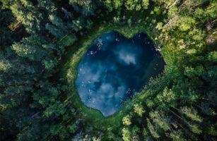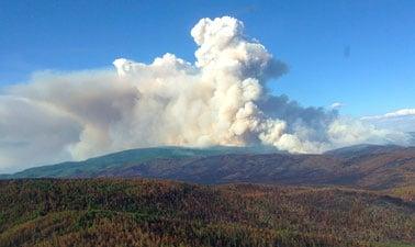
Learn how satellite imagery and the science of remote sensing allows us to detect wildfires, help manage their spread, and guide ecological restoration. Wildfires are a natural and essential part of our ecosystem, recycling soil nutrients and renewing healthy forests. In Alaska, around one million acres (4000 km2) burn every year, and record years have seen as many as six million acres burned. Most of these fires are allowed to spread naturally.
Class Deals by MOOC List - Click here and see EdX's Active Discounts, Deals, and Promo Codes.
However, when wildfires occur near population centers, they can be a serious threat to the safety and well-being of people. Recent disastrous fire seasons in Alaska, California, and Australia have shown how communities near forests, in what is known as the Wildland Urban Interface (WUI), are increasingly at risk due to hotter and drier summer weather caused by climate change.
In the fight to protect these communities, remote sensing technology has become essential. Wildfire analysts use satellite imagery and powerful computer programs to predict fire risk, detect fires early, and monitor their spread. After a wildfire is extinguished, remote sensing is used to analyze the impact of a fire and to guide sustainable restoration efforts.
Participants in this course will learn about remote sensing of wildfires from instructors at the University of Alaska Fairbanks, located in one of the world’s most active wildfire zones. Students will learn about wildfire behavior, and get hands-on experience with tools and resources used by professionals to create geospatial maps that support firefighters on the ground.
Upon completion, students will be able to:
- Access web resources that provide near real-time updates on active wildfires
- Navigate databases of remote sensing imagery and data
- Analyze geospatial data to detect fire hot spots, map burn areas, and assess severity
- Process image and GIS data in open source tools like QGIS and Google Earth Engine
What you'll learn
- What climate conditions lead to wildfires in Alaska
- How wildfires are managed in Alaska
- How fire impacts people, environment, ecosystems, and wildlife
- How remote-sensing science works
- How remote sensing is used for detecting wildfires, monitoring their spread, and assessing fire impacts
- How remote sensing supports fire management decisions
- How to locate wildfire remote-sensing data and geospatial products
Syllabus
Week 1: An overview of wildfires in Alaska
- Introduction to wildfires in Alaska: fire season and fire statistics
- Wildfire management
- Wildfire impacts on people, environment, ecosystem and wildlife
Week 2: An introduction to remote sensing of Earth
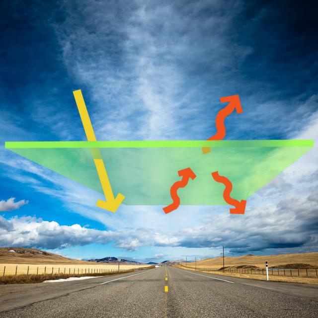
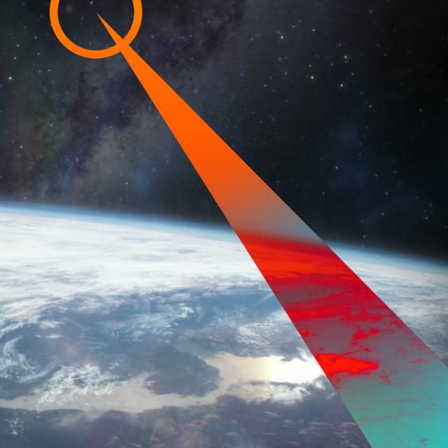
- How does remote sensing work?
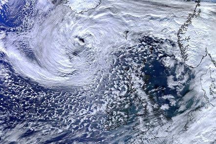
- Earth observation satellite missions and their data
- Image interpretation: how to identify land features in an image?
Week 3: Remote sensing applications on wildfires:
- Mapping wildfire fuel from image data
- Detecting wildfire from space
- Mapping burn scar and assessing fire impact
Week 4: Remote sensing resources
- Remote sensing data, tools, and services from NASA, NOAA, U.S. Forest Service, and Alaska Interagency Coordination Center
- How remote sensing data and products support decision making for fire management