Chris Smith

Chris Smith holds an MS in Geosciences from the University of Alaska Fairbanks. His thesis research focused on how remote sensing techniques can improve fire fuel and burn severity maps to better understand and predict fire behavior in the Alaska boreal forest. Chris has been a teaching assistant for an undergraduate course on glaciers, earthquakes and volcanoes.

Sort options

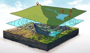
GIS Foundations (edX)

Learn foundations of GIS concepts and geospatial technology to view, understand, query, visualize, and interpret geospatial data to reveal patterns and relationships for effective problem-solving and better decision making.

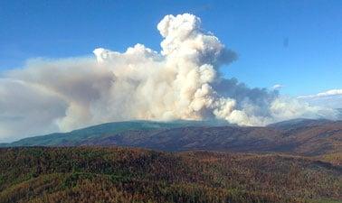
Remote Sensing of Wildfires (edX)

Learn how satellite imagery and the science of remote sensing allows us to detect wildfires, help manage their spread, and guide ecological restoration. Wildfires are a natural and essential part of our ecosystem, recycling soil nutrients and renewing healthy forests. In Alaska, around one million acres (4000 km2) burn [...]

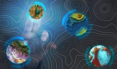
GIS Image Analysis in ArcGIS Pro (edX)

Learn fundamentals of remote sensing, image analysis, image processing and its application on real-world problems such as vegetation health, wildfire severity, and flooding. Image analysis is extraction of meaningful information from an image to accomplish a simple task like understanding the landscape or to solve a complex problem like [...]

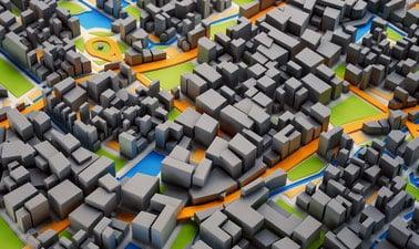
3D GIS (edX)

Take your maps into the third dimension: Learn GIS concepts and tools to visualize, analyze, and interpret spatial data in 3D. Reveal patterns that can lead to better decision making. Maps are graphic representations of reality and help us understand and navigate the world around us. Maps can incorporate [...]