 Coursera
École Polytechnique Fédérale de Lausanne
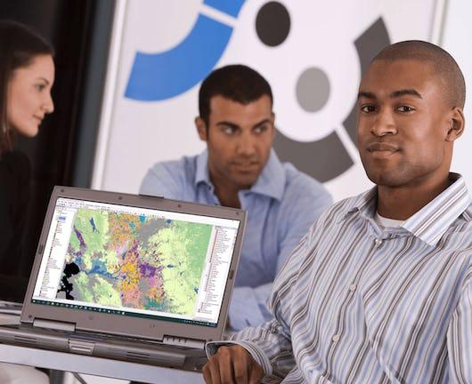
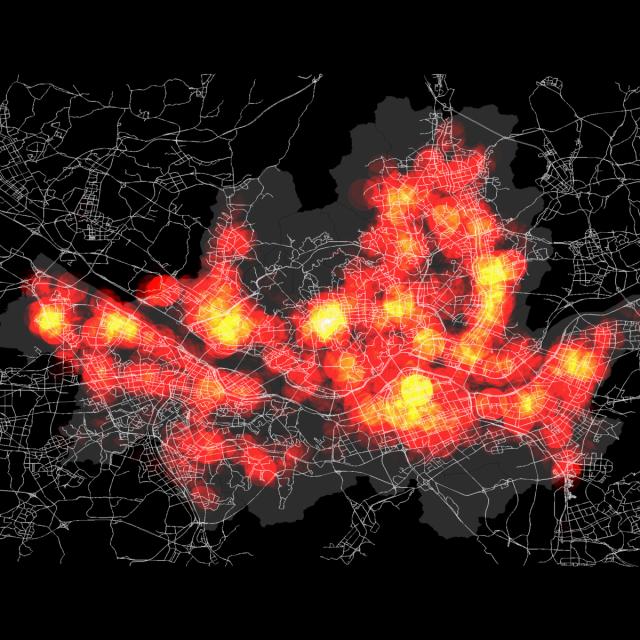
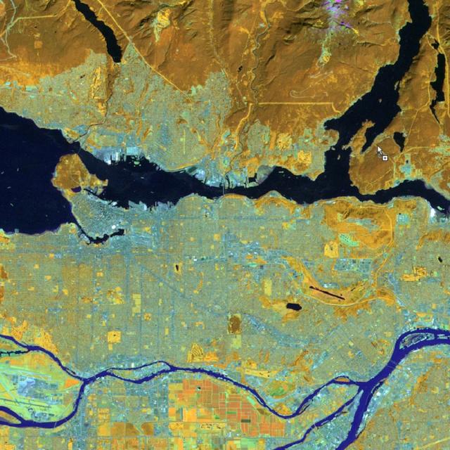
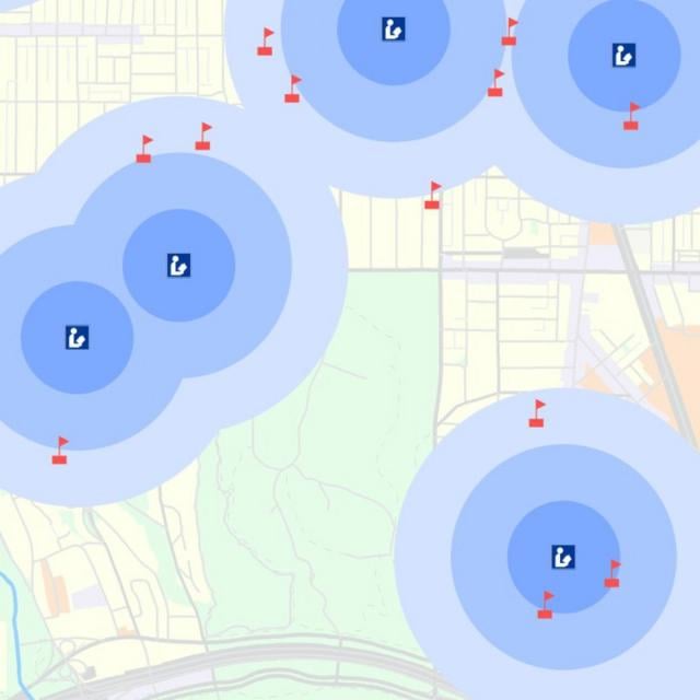
Geographical Information Systems - Part 1 (Coursera)
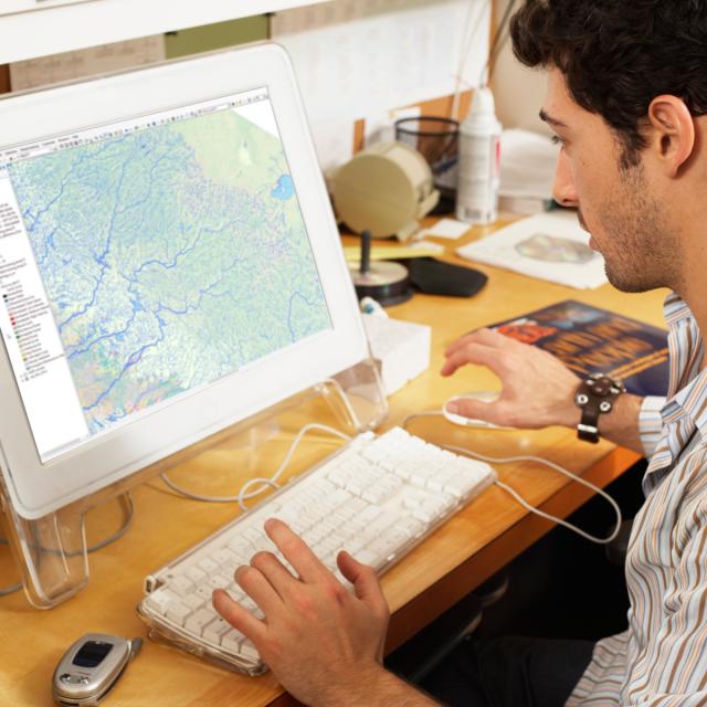
Embark on an introductory journey into the world of Geographic Information Systems (GIS). This two-part course is designed for beginners, providing a solid foundation in both theoretical and practical aspects of GIS. You'll learn to build spatial databases, create high-quality maps, and develop essential cartographic skills without any prior knowledge required. Utilizing free, open-source software such as QGIS, this hands-on course will equip you with the basic skills needed to start your journey in GIS.