Introduction to GIS Mapping (Coursera)

Offered by University of Toronto,
Introduction to GIS Mapping (Coursera)

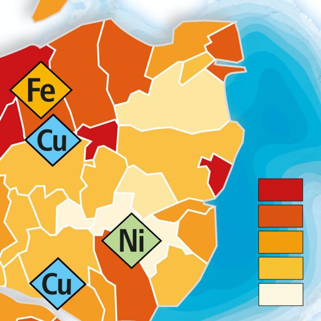
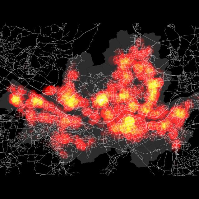
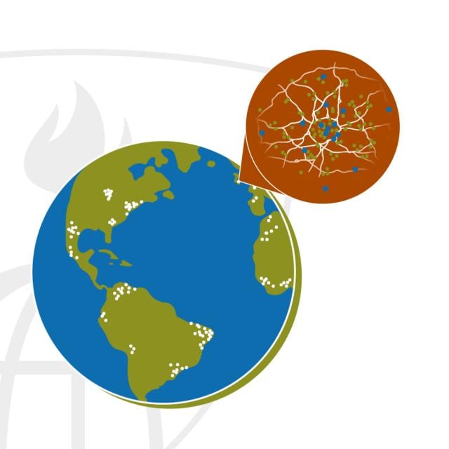
Get started learning about the fascinating and useful world of geographic information systems (GIS)! In this first course of the specialization GIS, Mapping, and Spatial Analysis, you'll learn about what a GIS is, how to get started with the software yourself, how things we find in the real world can be represented on a map, how we record locations using coordinates, and how we can make a two-dimensional map from a three-dimensional Earth.

Class Deals by MOOC List - Click here and see Coursera's Active Discounts, Deals, and Promo Codes.

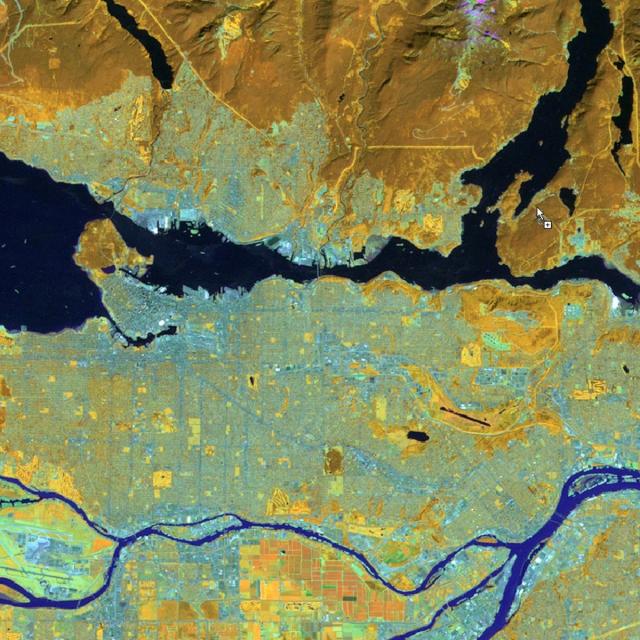
In the course project, you will create your own GIS data by tracing geographic features from a satellite image for a location and theme of your choice. This course will give you a strong foundation in mapping and GIS that will give you the understanding you need to start working with GIS, and to succeed in the other courses in this specialization.
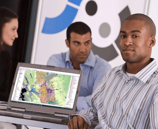
This course is for anyone who wants to learn about mapping and GIS. You don't have to have any previous experience - just your curiosity! The course includes both practical software training and explanations of the concepts you need to know to make informed decisions as you start your journey to becoming a GIS analyst.
You will need a Windows computer with ArcGIS Desktop installed. (software is not provided)

Course 1 of 4 in the GIS, Mapping, and Spatial Analysis Specialization.

Syllabus

WEEK 1: What is a GIS?
WEEK 2: Introduction to ArcGIS
WEEK 3: Mapping the real world with vector and raster data
WEEK 4: Mapping Locations with Coordinate Systems
WEEK 5: Flattening the Earth with Map Projections
WEEK 6: Project: Creating Your Own Data

Go to Class
MOOC List is learner-supported. When you buy through links on our site, we may earn an affiliate commission.

Related Courses

Maps and the Geospatial Revolution (Coursera) Coursera
University of Pennsylvania

Maps and the Geospatial Revolution (Coursera)

This course brings together core concepts in cartography, geographic information systems, and spatial thinking with real-world examples to provide the fundamentals necessary to engage with Geography beyond the surface-level. We will explore what makes spatial information special, how spatial data is created, how spatial analysis is conducted, and how to design maps so that they’re effective at telling the stories we wish to share. To gain experience using this knowledge, we will work with the latest mapping and analysis software to explore geographic problems.

Aug 7th 2023
5-12 Weeks
Quality Improvement for Population Health (Coursera) Coursera
Imperial College London

Quality Improvement for Population Health (Coursera)

Quality improvement methods were first deployed in healthcare in e hospital settings. However, over the past decade particularly, there has been increasing focus on the application of these methods in improving population and public health. In this course, you will apply a combination of both approaches to population health improvement. You will also learn how to study and evaluate large improvement initiatives to capture learning effectively.

Jun 1st 2026
4 Weeks
Computational Watershed Hydrology (edX) EdX
Purdue University,PurdueX

Computational Watershed Hydrology (edX)

Learn how to perform hydrologic analysis and modeling using real observations, geospatial data, and computational tools. Students in this class will learn how to access and process commonly used geospatial and temporal data such as the digital elevation model (DEM), land use, soil, streamflow and precipitation using geographic information systems (GIS).

Jan 10th 2022
13-24 Weeks
Cartography (Esri) Esri
Esri

Cartography (Esri)

Once, only cartographers made maps. Today anyone can. Still, cartographers can teach people to make better maps, just as chefs can show people how to cook better meals. With coaching from experienced cartographers and practical, hands-on exercises using ArcGIS Pro, you'll become a smarter mapmaker, ready to go beyond the defaults and make better maps.

Feb 16th 2022
5-12 Weeks
GIS, Mapping, and Spatial Analysis Capstone (Coursera) Coursera
University of Toronto

GIS, Mapping, and Spatial Analysis Capstone (Coursera)

In this capstone course, you will apply everything you have learned by designing and then completing your own GIS project. You will plan out your project by writing a brief proposal that explains what you plan to do and why. You will then find data for a topic and location of your choice, and perform analysis and create maps that allow you to try out different tools and data sets. The results of your work will be assembled into an Esri story map, which is a web site with maps, images, text, and video. The goal is for you to have a finished product that you can share, and that demonstrates what you have learned.

Jun 1st 2026
5-12 Weeks
Geospatial Analysis Project (Coursera) Coursera
University of California, Davis

Geospatial Analysis Project (Coursera)

In this project-based course, you will design and execute a complete GIS-based analysis – from identifying a concept, question or issue you wish to develop, all the way to final data products and maps that you can add to your portfolio. What you will learn: create a GIS project proposal; develop a hypothesis for a GIS-based question; complete a data analysis in line with your project objectives; interpret and explain the results you obtained in comparison to your original GIS question and/or hypothesis.

Dec 2nd 2024
5-12 Weeks
Robotics: Estimation and Learning (Coursera) Coursera
University of Pennsylvania

Robotics: Estimation and Learning (Coursera)

How can robots determine their state and properties of the surrounding environment from noisy sensor measurements in time? In this module you will learn how to get robots to incorporate uncertainty into estimating and learning from a dynamic and changing world. Specific topics that will be covered include probabilistic generative models, Bayesian filtering for localization and mapping.

Jan 13th 2025
4 Weeks
Geographical Information Systems - Part 1 (Coursera) Coursera
École Polytechnique Fédérale de Lausanne

Geographical Information Systems - Part 1 (Coursera)

This course is organized into two parts presenting the theoretical and practical foundations of geographic information systems (GIS). Together theses courses constitute an introduction to GIS and require no prior knowledge. By following this introduction to GIS you will quickly acquire the basic knowledge required to create spatial databases and produce high-quality maps and cartographic representations. This is a practical course and is based on free, open-source software, including QGIS.

May 25th 2026
5-12 Weeks
Computational Geometry (Coursera) Coursera
Saint Petersburg State University

Computational Geometry (Coursera)

This course represents an introduction to computational geometry – a branch of algorithm theory that aims at solving problems about geometric objects. Its application areas include computer graphics, computer-aided design and geographic information systems, robotics, and many others. You will learn to apply to this end various algorithmic approaches, and asses their strong and weak points in a particular context, thus gaining an ability to choose the most appropriate method for a concrete problem.

May 16th 2022
5-12 Weeks
Operational Context and Data (Coursera) Coursera
University at Buffalo,The State University of New York

Operational Context and Data (Coursera)

By the end of this course, learners are empowered to implement data-driven process improvement objectives at their organization. The course covers: the business case for IoT (Internet of Things), the strategic importance of aligning operations and performance goals, best practices for collecting data, and facilitating a process mapping activity to visualize and analyze a process’s flow of materials and information. Learners are prepared to focus efforts around business needs, evaluate what the organization should measure, discern between different types of IoT data and collect key performance indicators (KPIs) using IoT technology. Learners have the opportunity to implement process improvement objectives in a mock scenario and consider how the knowledge can be transferred to their own organizational contexts.

May 25th 2026
4 Weeks