 EdX
EdX
University of Alaska Fairbanks,AlaskaX
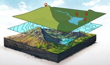
3D GIS (edX)
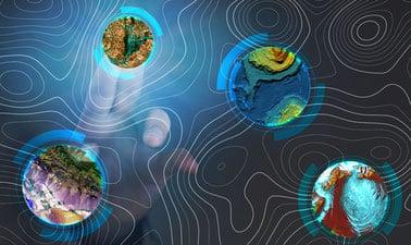
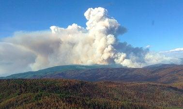
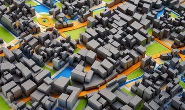
Transform your understanding of maps by diving into the world of 3D GIS with this edX course. Gain expertise in visualizing, analyzing, and interpreting complex spatial data through a third-dimensional lens. This course is designed for those who want to make informed decisions based on detailed geographic insights.