 EdX
EdX
University of Alaska Fairbanks,AlaskaX
GIS Image Analysis in ArcGIS Pro (edX)
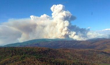
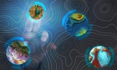
Dive into the world of Geographic Information Systems (GIS) with our specialized course on Image Analysis in ArcGIS Pro. This edX offering provides a thorough grounding in remote sensing techniques, image processing methodologies, and their practical applications to solve complex environmental and geographical challenges. Whether you're interested in understanding landscape changes or tackling sophisticated problems like facial recognition, this course equips you with the skills needed to analyze images effectively.