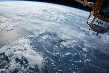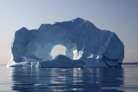
Learn how the Greenland ice sheet is monitored from space and the ground, to understand our past, present and future climate. Made up of layers of compressed snow from over the last 100,000 years, the vast Greenland ice sheet acts as both a valuable record of our past climate and a bellwether for future climate change. This online course highlights how the Greenland ice sheet is monitored from space and the ground. You’ll look at the measurements made possible by Earth Observation (EO) satellites like Cryosat, the technologies and techniques involved, the data generated, and its uses and challenges.
Class Deals by MOOC List - Click here and see FutureLearn's Active Discounts, Deals, and Promo Codes.
You’ll also explore the role of ice in the climate system, and the impact of climate change on the Greenland ice sheet.
What topics will you cover?
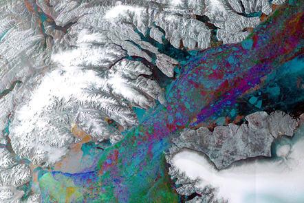
- Satellite Earth Observation technology, terminology and the types of data products available when monitoring ice sheets
- Understanding the unique measurements of ice thickness and dynamics which satellite data can provide
- How to access process and work with Earth observation data and ice sheet measuring tools
- The use of Earth observation data in a range of scientific, policy and decision-making areas, in conjunction with models
What will you achieve?
By the end of the course, you'll be able to...
- Explore how we observe and measure ice sheets in situ and from satellites
- Explore the operational elements of satellite missions like Cryosat, which monitor the Greenland ice sheet
- Understand the complexity of the dynamics involved in melting ice sheet systems
- Data processing methods from Cryosat and other satellite missions
- Investigate how satellite data models enable a complete picture of changes in the ice sheet and how this is used in policy decision making