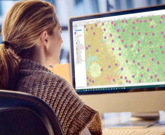
Geospatial Analysis

Sort options

Geospatial Analysis with ArcGIS (Coursera)

Apply your GIS knowledge in this course on geospatial analysis, focusing on analysis tools, 3D data, working with rasters, projections, and environment variables. Through all four weeks of this course, we'll work through a project together - something unique to this course - from project conception, through data [...]

Modelaje y Análisis con información georreferenciada (Coursera)

El curso modelaje y análisis con información georreferenciada busca que comprendas la diversidad y el potencial de los datos geográficos. En el curso podrás utilizarlos en ejemplos básicos para modelar, procesar y analizar problemas donde la ubicación juega un rol importante. Todo esto con el fin de encontrar soluciones [...]

Geospatial Analysis Project (Coursera)

In this project-based course, you will design and execute a complete GIS-based analysis – from identifying a concept, question or issue you wish to develop, all the way to final data products and maps that you can add to your portfolio. What you will learn: create a GIS project [...]

Geographical Information Systems - Part 2 (Coursera)

This course is the second part of a course dedicated to the theoretical and practical bases of Geographic Information Systems (GIS). It offers an introduction to GIS that does not require prior computer skills. It gives the opportunity to quickly acquire the basics that allow you to create spatial [...]

Geospatial and Environmental Analysis (Coursera)

Apply your GIS knowledge in this course on geospatial analysis, focusing on analysis tools, 3D data, working with rasters, projections, and environment variables. Through all four weeks of this course, we'll work through a project together - something unique to this course - from project conception, through data retrieval, [...]

Sustainable Supply Chain Management (edX)

Oct 11th 2023
Sustainable Supply Chain Management (edX)
Course Auditing
Categories
Effort
Languages
Transform your organization's climate pledges into actionable strategies through better supply chain management. Modeled on our for-credit MIT course, SCM.290x provides the foundation for you to meet stakeholders’ demands for supply chain sustainability.

Spatial Data Science: The New Frontier in Analytics (Esri)

Over six weeks, build skills to transform traditional data science workflows with spatial data, tools, and methods. You'll work with ArcGIS® software to analyze data, solve complex problems, and communicate results using innovative maps and apps.

Spatial Analysis with SAP HANA Platform (openSAP)

Self Paced
Spatial Analysis with SAP HANA Platform (openSAP)
Free Course
Categories
Effort
Languages
Today, enterprises and organizations collect and analyze huge volumes of data about everything from products and customers to assets, operations, and transactions. With SAP HANA, you can add a new dimension of intelligence by analyzing spatial data. SAP’s in-memory data management platform not only provides the technology for building [...]