Discover data analytics and learn how to process and interpret satellite data to track hurricanes. Analyse satellite data of hurricanes and explore descriptive statistics.
Class Deals by MOOC List - Click here and see FutureLearn's Active Discounts, Deals, and Promo Codes.
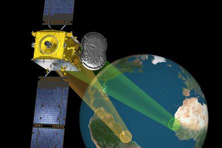
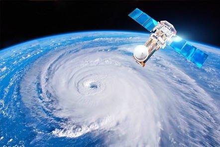
Regularly causing major global destruction, hurricanes are intense storms with devastating winds. Space-enabled data allows us to observe, monitor, and track hurricanes from a safe distance. Although easily accessible, large volumes of satellite data have been left untouched due to a lack of skilled data analysts.
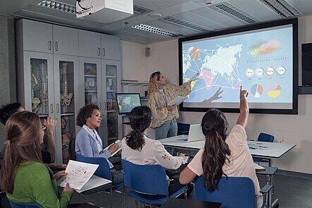
On this course, you’ll explore the key concepts of data science required to process, analyse, and interpret large datasets. You’ll use tutorials and case studies to understand the possibilities within these datasets, and learn how to interpret satellite data beyond the course.
What topics will you cover?
Hurricanes
- How do they form? Where do they occur?
- Hurricane Prediction models
- Hurricane Preparedness
- Hurricane Damage Control
Satellites and their applications
- Orbits
- Payloads
- Sensors
Datasets
- What different formats of data are there?
- Location Point
- Temporal Data
- Map Data
- Contour Data on a Map
Introduction to Python
- Installation
- Packages (Pandas, Cartopy, Numpy etc)
- Data visualization
What will you achieve?
By the end of the course, you'll be able to...
- What data is and its different forms
- What a satellite is and how its applications produce valuable data
- Basic data analysis techniques such as descriptive statistics using Python
- Ability to access and process satellite application data