MOOC List is learner-supported. When you buy through links on our site, we may earn an affiliate commission.
MOOC List is learner-supported. When you buy through links on our site, we may earn an affiliate commission.
The course material is extensively illustrated by examples and commentary on the how the technology is applied in practice. It will prepare participants to use the material in their own disciplines and to undertake more detailed study in remote sensing and related topics.
Syllabus
WEEK 1
Course Welcome, Instructor, Course Resources, Module 1 Introduction and Week 1 Lectures and Quiz
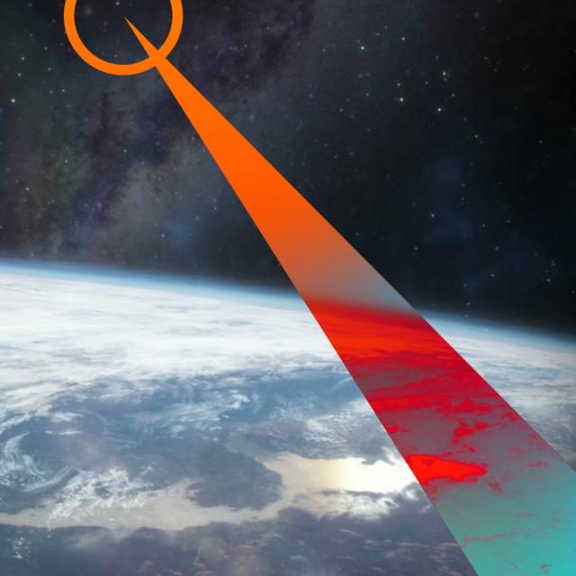
Remote sensing is the science and technology of acquiring images of the earth’s surface from spacecraft, aircraft and drones to aid in the monitoring and management of the natural and built environments. Extensive computer-based analysis techniques are used to extract information from the recorded images in support of applications ranging over many earth and information science disciplines. This course covers the fundamental nature of remote sensing and the platforms and sensor types used. It also provides an in-depth treatment of the computational algorithms employed in image understanding, ranging from the earliest historically important techniques to more recent approaches based on deep learning. The course material is extensively illustrated by examples and commentary on the how the technology is applied in practice. While broad in its coverage the 15 hours of instruction, supported by quizzes and tests, will prepare participants to use the material in their own disciplines and to undertake more detailed study in remote sensing and related topics.
WEEK 2: Lectures and Quiz
WEEK 3: Lectures and Quiz
WEEK 4: Lectures and Quiz
WEEK 5: Lectures and Quiz, Module 1 Test
WEEK 6: Module 2 Introduction, lectures and Quiz
WEEK 7: Lectures and Quiz
WEEK 8: Lectures and Quiz
WEEK 9: Lectures and Quiz
WEEK 10: Lectures and Quiz, Module 2 Test
WEEK 11: Module 3 Lectures and Quiz
WEEK 12: Lectures and Quiz
WEEK 13: Lectures and Quiz
WEEK 14: Lectures and Quiz
WEEK 15: Lectures and Quiz, Module 3 Test, Course Conclusion
MOOC List is learner-supported. When you buy through links on our site, we may earn an affiliate commission.
MOOC List is learner-supported. When you buy through links on our site, we may earn an affiliate commission.