Geographic Information Systems (GIS) Essentials Professional Certificate
Learn foundations of GIS concepts and technology to view, understand, query, visualize, and interpret spatial data to reveal patterns and relationships for problem-solving and better decision making.
“GIS is about uncovering meaning and insights from within data.” Jack Dangermond, CEO of Esri, the creators of ArcGIS.
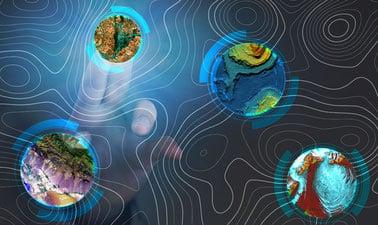
Geographic Information Systems (GIS) was once an esoteric technology limited to geographers and data scientists. It is now available to everyone. Thousands of organizations in virtually every field are using GIS to analyze data, make maps that reveal patterns and relationships, share insights, and solve complex problems of local to global significance.
There is a growing need for a workforce skilled in GIS. This professional GIS certificate program will provide a comprehensive introduction to state-of-the-art methods and modern applications of GIS with the goal to prepare students for entry-level GIS jobs and undergraduate programs in geospatial sciences. Using the industry leading ArcGIS Pro GIS software, students will work with GIS datasets to support better decision making across many applications through data analysis of geographic data.
GIS is a growing technology field with widespread applications in government agencies and private industries. The global GIS market size stood at $7.5 billion in 2019, and it is expected to reach $25.6 billion by 2030 (Source).
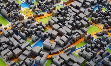
The rising investments in GIS-based infrastructure and solutions by the government sector, for military and aerospace applications, and by the private sector for real-time decision-making in industries such as construction, utilities, mining, and healthcare are the key factors driving the growth in the GIS applications.
What you will learn:
- Build proficiency in ESRI’s ArcGIS Pro software, the industry standard.
- Use geoprocessing tools for spatial analysis and problem solving.
- Communicate spatial analysis results through maps, graphs and ArcGIS story maps.
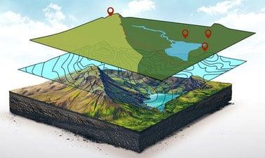
- Use 3D geoprocessing tools for landscape analysis and watershed delineation, and ArcScene for 3D visualization.
- Learn image processing and analysis in ArcGIS Pro to assess vegetation health, wildfire burn severity, and flood impacts. Use image classification to map land use and land cover.
 EdX
EdX