Leif Eriksson

Leif Eriksson came to Chalmers 2004 and since 2012 he is group leader for the research group Radar Remote Sensing. His research is aimed at development of methods to make measurements of land and ocean with radar data. Focus is mainly on the use of synthetic aperture radar (SAR) from satellite and aircraft for studies of forest (biomass, clear cuts, storm damage) and sea ice (ice concentration, ice drift, ice thickness) as well as wind and currents at the sea surface.
More info here.

Sort options

Sensing Planet Earth - Water and Ice (edX)

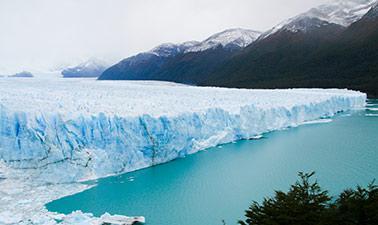
Learn how to measure and monitor the Earth’s water and ice masses to deepen your understanding of global change. Global warming. Rising sea levels. Droughts. Flooding. The melting of the polar ice caps. In this energy and earth science course, you will learn how continental water and ice [...]