Geographic Information Systems (GIS) Specialization

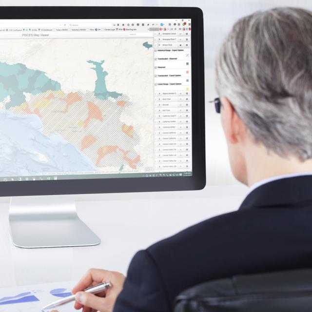
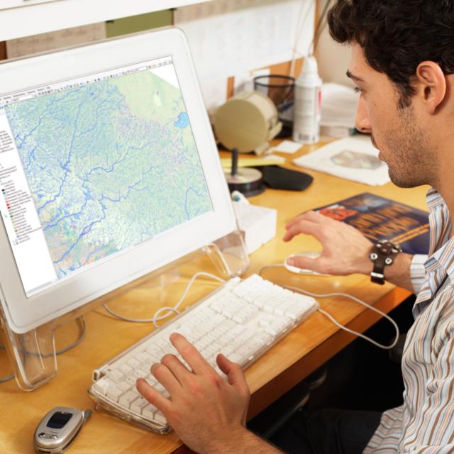
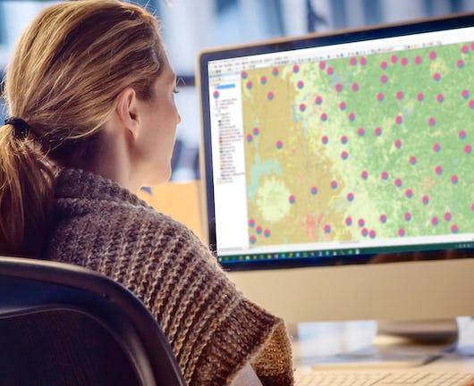
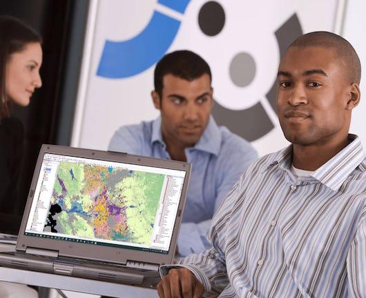
Knowledge of Geographic Information Systems (GIS) is an increasingly sought after skill in industries from agriculture to public health. This Specialization, offered in partnership with ArcGIS developer Esri, will teach the skills you need to successfully use GIS software in a professional setting. You will learn how to analyze your spatial data, use cartography techniques to communicate your results in maps, and collaborate with peers in GIS and GIS-dependent fields. In the final Capstone Project, you will create a professional-quality GIS portfolio piece using a combination of data identification and collection, analytical map development, and spatial analysis techniques.
WHAT YOU WILL LEARN
- Create and work with raster data.
- Develop and analyze data for the geospatial analysis project.
- Develop a large processing workflow in ModelBuilder.
- Interpret and explain the results you obtained in comparison to your original GIS question and/or hypothesis.

Sort options

Imagery, Automation, and Applications (Coursera)

Welcome to the last course of the specialization (unless your continuing on to the capstone project, of course!). Using the knowledge you’ve learned about ArcGIS, complete technical tasks such raster calculations and suitability analysis. What you will learn:Use the imagery in two different common types of analysis: NDVI and [...]

Fundamentals of GIS (Coursera)

Explore the world of spatial analysis and cartography with geographic information systems (GIS). What you will learn: define core geospatial concepts; practice with subset data using selections and feature attributes; create map books using advanced mapping techniques; create layer and map packages.

Geospatial Analysis with ArcGIS (Coursera)

Apply your GIS knowledge in this course on geospatial analysis, focusing on analysis tools, 3D data, working with rasters, projections, and environment variables. Through all four weeks of this course, we'll work through a project together - something unique to this course - from project conception, through data [...]

GIS Applications Across Industries (Coursera)

Apr 29th 2024
GIS Applications Across Industries (Coursera)
Course Auditing
Categories
Effort
Languages
Geographic Information Systems (GIS) is becoming an essential business skill across a variety of different disciplines. In this course, you will explore how GIS skills are commonly applied and used in a variety of industries focusing specifically on: environmental studies, public health, emergency management, and business development. You will [...]

Geospatial Analysis Project (Coursera)

In this project-based course, you will design and execute a complete GIS-based analysis – from identifying a concept, question or issue you wish to develop, all the way to final data products and maps that you can add to your portfolio. What you will learn: create a GIS project [...]

Geospatial and Environmental Analysis (Coursera)

Apply your GIS knowledge in this course on geospatial analysis, focusing on analysis tools, 3D data, working with rasters, projections, and environment variables. Through all four weeks of this course, we'll work through a project together - something unique to this course - from project conception, through data retrieval, [...]