GIS

Sort options

Essential Epidemiologic Tools for Public Health Practice (Coursera)

In order to make a difference in the health and well-being of a population, we must understand the burden of all problems and conditions that affect the population, as well as how well our efforts to mitigate these problems are actually working. This course provides you with some essential [...]

Introduction aux Systèmes d’Information Géographique - Partie 2 (Coursera)

Ce cours constitue la seconde partie d'un enseignement consacré aux bases théoriques et pratiques des systèmes d’information géographique. - Il propose une introduction aux systèmes d’information géographique qui ne requiert pas de connaissances préalables en informatique. - Il donne la possibilité d’acquérir rapidement les notions de base qui vous [...]

Introduction aux Systèmes d’Information Géographique - Partie 1 (Coursera)

Organisé en deux parties, ce cours présente les bases théoriques et pratiques des systèmes d’information géographique. - Il propose une introduction aux systèmes d’information géographique qui ne requiert pas de connaissances préalables en informatique - Il donne la possibilité d’acquérir rapidement les notions de base qui vous permettent de [...]

Éléments de Géomatique (Coursera)

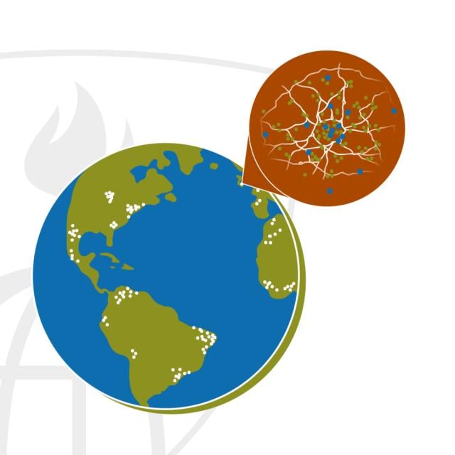
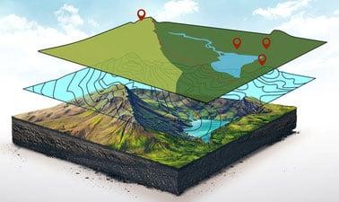
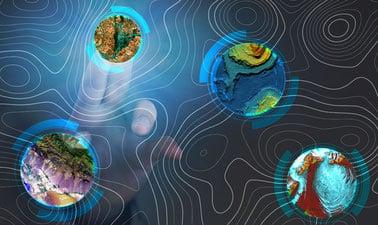
Les nouvelles technologies de l’information ont facilité l’accès à de nombreuses bases de données offrant au grand public, mais surtout aux professionnels, une multitude de services. Le domaine de l’information géographique a également suivi ce mouvement en modernisant l’ensemble des supports, des plans, des cartes topographiques et de tous [...]

Geospatial Analysis with ArcGIS (Coursera)

Apply your GIS knowledge in this course on geospatial analysis, focusing on analysis tools, 3D data, working with rasters, projections, and environment variables. Through all four weeks of this course, we'll work through a project together - something unique to this course - from project conception, through data [...]

GIS Applications Across Industries (Coursera)

Apr 1st 2024
GIS Applications Across Industries (Coursera)
Course Auditing
Categories
Effort
Languages
Geographic Information Systems (GIS) is becoming an essential business skill across a variety of different disciplines. In this course, you will explore how GIS skills are commonly applied and used in a variety of industries focusing specifically on: environmental studies, public health, emergency management, and business development. You will [...]

Geographical Information Systems - Part 1 (Coursera)

This course is organized into two parts presenting the theoretical and practical foundations of geographic information systems (GIS). Together theses courses constitute an introduction to GIS and require no prior knowledge. By following this introduction to GIS you will quickly acquire the basic knowledge required to create spatial databases [...]

Geospatial and Environmental Analysis (Coursera)

Apply your GIS knowledge in this course on geospatial analysis, focusing on analysis tools, 3D data, working with rasters, projections, and environment variables. Through all four weeks of this course, we'll work through a project together - something unique to this course - from project conception, through data retrieval, [...]

GIS Foundations (edX)

Learn foundations of GIS concepts and geospatial technology to view, understand, query, visualize, and interpret geospatial data to reveal patterns and relationships for effective problem-solving and better decision making.

GIS Image Analysis in ArcGIS Pro (edX)

Learn fundamentals of remote sensing, image analysis, image processing and its application on real-world problems such as vegetation health, wildfire severity, and flooding. Image analysis is extraction of meaningful information from an image to accomplish a simple task like understanding the landscape or to solve a complex problem like [...]