MOOC List is learner-supported. When you buy through links on our site, we may earn an affiliate commission.
MOOC List is learner-supported. When you buy through links on our site, we may earn an affiliate commission.
There are 54 essential variables used to measure climate change. These essential climate variables (ECVs) are crucial in helping to provide evidence for climate change and implement adaptation methods.
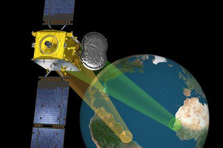
On this three-week course, you’ll explore the state-of-the-art technology used in the Climate Change Initiative programme (CCI) of the European Space Agency, and how satellite data is used to measure climate change.
Through interactive exercises, you’ll be trained to understand climate change and analyse satellite climate data using the CATE (Climate Analysis Toolbox) of the Climate Change Initiative Programme.
With these tools, you’ll find essential climate variables that are indicators of the state and change of the climate and a specific process in the atmosphere-Earth system.
Understand the components of the climate system
You’ll explore many components of the climate system: the water, energy and carbon cycles, cryosphere and land.
This will help you understand the physical processes of climate change from different perspectives.
With this knowledge, you’ll learn how to create and communicate maps, times series, and trends of essential climate variables. You’ll also be able to evaluate the results and provide judgments of the significance of the analysis.
Learn from the experts at the University of Twente
You’ll be guided through articles and videos by world-class scientists on this course led by the specialists at the ITC faculty at the University of Twente.
With a 70-year track record in knowledge transfer in the field of Earth observation, ITC was awarded by the European Space Agency to create this interactive online course.
Syllabus
Week 1: Introduction
Week 2: How land interacts with the climate
Week 3: Cryosphere
Learning on this course
You can take this self-guided course and learn at your own pace. On every step of the course you can meet other learners, share your ideas and join in with active discussions in the comments.
What will you achieve?
By the end of the course, you‘ll be able to...
- Understand the physical processes of the climate systems.
- Explore the CCI toolbox and find essential climate variables (ECVs) that are indicators of the state and change of the climate.
- Create and communicate maps, time series and trends of ECVs using the CCI Toolbox.
- Evaluate the results and provide judgments of the significance of the analysis.
Who is the course for?
This course is designed for anyone studying, researching, or interested in climate change and satellite climate data.
What software or tools do you need?
You will need to have access to a computer to access the websites used in this course.
MOOC List is learner-supported. When you buy through links on our site, we may earn an affiliate commission.
MOOC List is learner-supported. When you buy through links on our site, we may earn an affiliate commission.