Sci: Environment

Sort options

Modelo de Ecossistema com Insight Maker (Coursera)

Neste curso baseado em projeto de 1 hora de duração, você criará um modelo que simula a dinâmica de três populações de espécies diferentes em um ambiente: formigas, tamanduás-bandeira e lobos-guará. Durante a criação de tal modelo você será apresentado ao Insight Maker, um ambiente de simulação online gratuito [...]

Planning with Climate Change in Mind (Coursera)

This course focuses on the climate impacts occurring and expected to occur across the United States. Our approach will be regional and sectoral, with consideration of impacts on water resources, transportation, energy, agriculture, forests, health, and coastal/marine resources. We will also look at how you can apply information about [...]

How Do We Manage Climate Change? (Coursera)

In this course, learners will identify the types of actions that we can pursue to address climate change. These actions fall into two broad categories: 1) mitigation, which refers to efforts to reduce greenhouse gas emissions or enhance carbon sinks, and 2) adaptation, which refers to our preparations for [...]

What is Climate Change? (Coursera)

In this course, learners will become familiar with the scientific evidence that demonstrates human-caused climate change. We will explore how greenhouse gases cause the Earth to warm, and why our recent warming is attributed to human activities. We will also discuss where our climate is headed, including anticipated future [...]

GIS Data Acquisition and Map Design (Coursera)

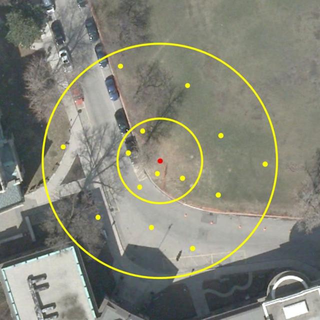
In this course, you will learn how to find GIS data for your own projects, and how to create a well-designed map that effectively communicates your message. The first section focuses on the basic building blocks of GIS data, so that you know what types of GIS files exist, [...]

Introduction to GIS Mapping (Coursera)

Get started learning about the fascinating and useful world of geographic information systems (GIS)! In this first course of the specialization GIS, Mapping, and Spatial Analysis, you'll learn about what a GIS is, how to get started with the software yourself, how things we find in the real world [...]

Spatial Analysis and Satellite Imagery in a GIS (Coursera)

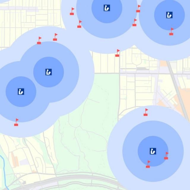
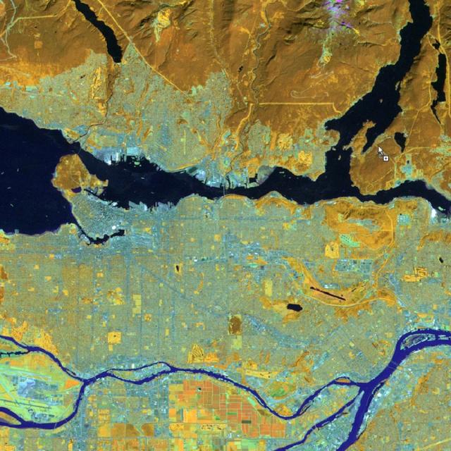
In this course, you will learn how to analyze map data using different data types and methods to answer geographic questions. First, you will learn how to filter a data set using different types of queries to find just the data you need to answer a particular question. Then, [...]

Exploring Renewable Energy Schemes (Coursera)

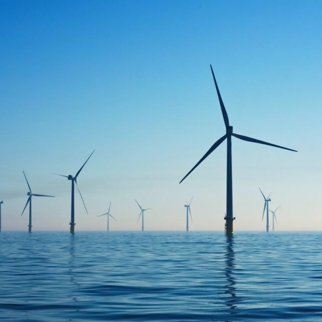
What do you picture when you hear the term “renewable energy?” Do you imagine fields of solar panels, giant windmills, or huge hydroelectric dams? Those are all examples of large-scale, grid-tied systems. In this course, we’ll go much smaller and focus on off-grid, stand-alone systems.